Peatland restoration & conservation in Indonesia
Katingan and Kotawaringin Timur districts, Central Kalimantan, Borneo
The project's carbon credits are available through off-take.
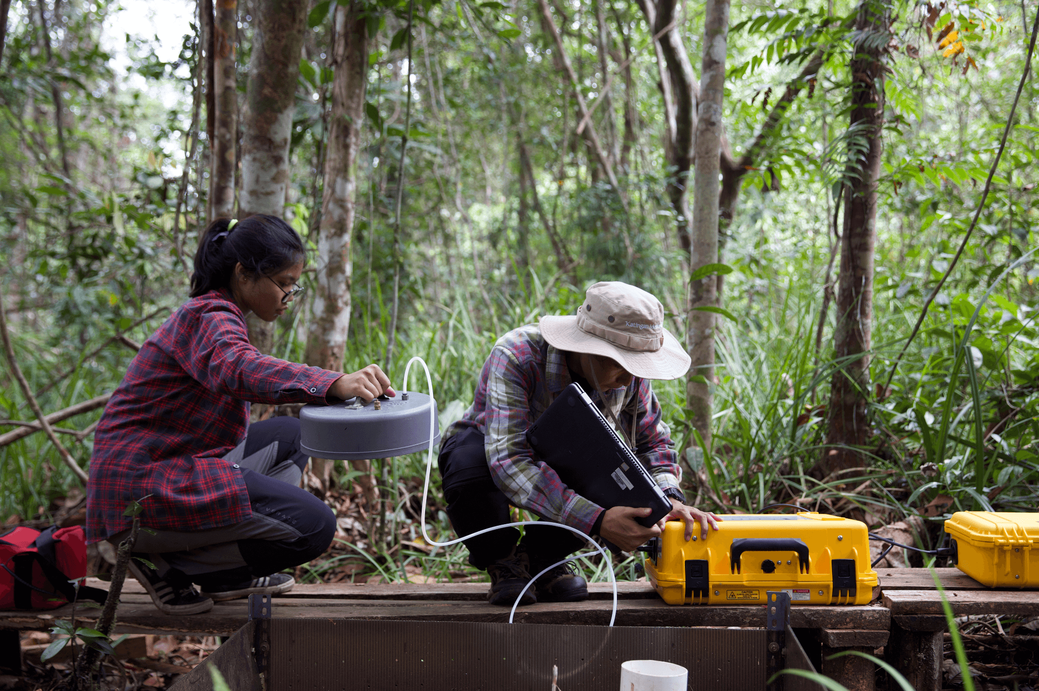
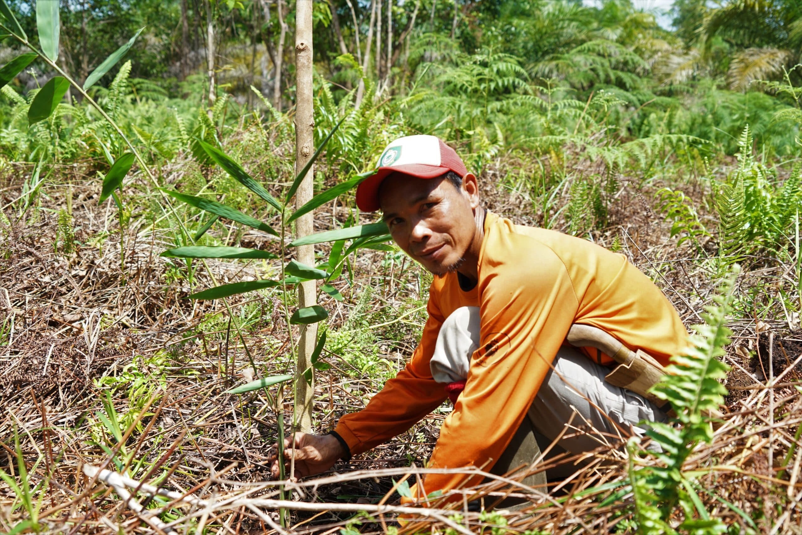
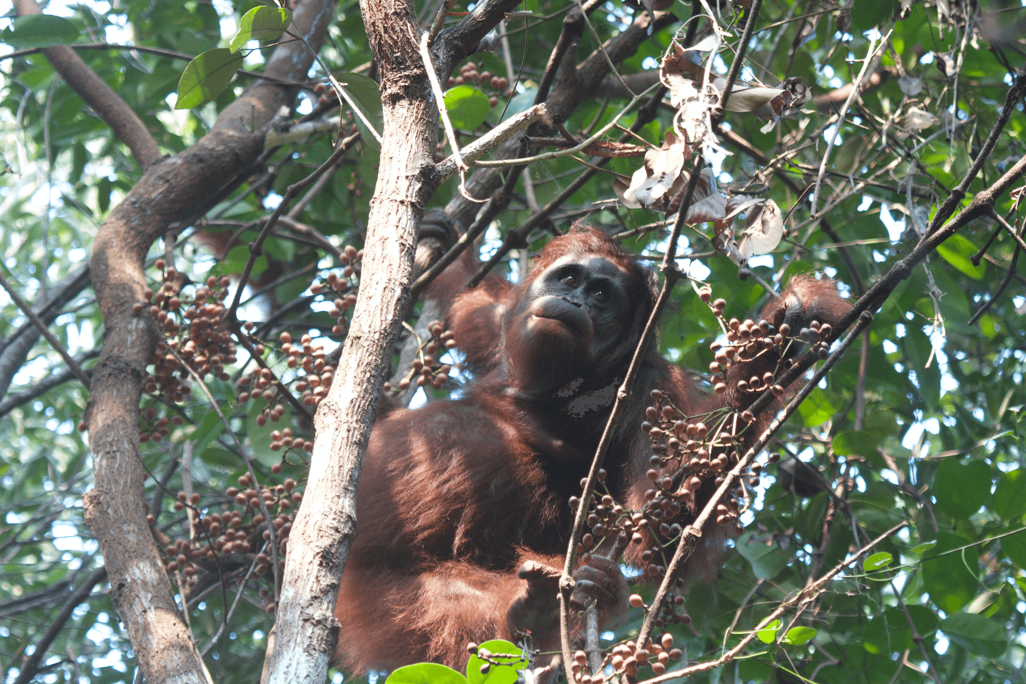
This peatland restoration and conservation project operates under the Verra (VCS) standard and focuses on protecting and restoring 149,800 hectares of tropical peat swamp forest in the districts of Katingan and Kotawaringin Timur, Central Kalimantan, Indonesian Borneo. The project safeguards one of the largest remaining intact peat swamp forests in Indonesia, an ecosystem that stores vast amounts of carbon below ground, but which releases significant greenhouse gas emissions when dr...Read more
Certified carboncredits
carbon credits invested
carbon credits invested
Location
Facts & figures
)
)
)
)
)
)
)
)